

Airport Basemap: a Digital File Cabinet
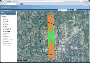
Click Here for a Sample Basemap
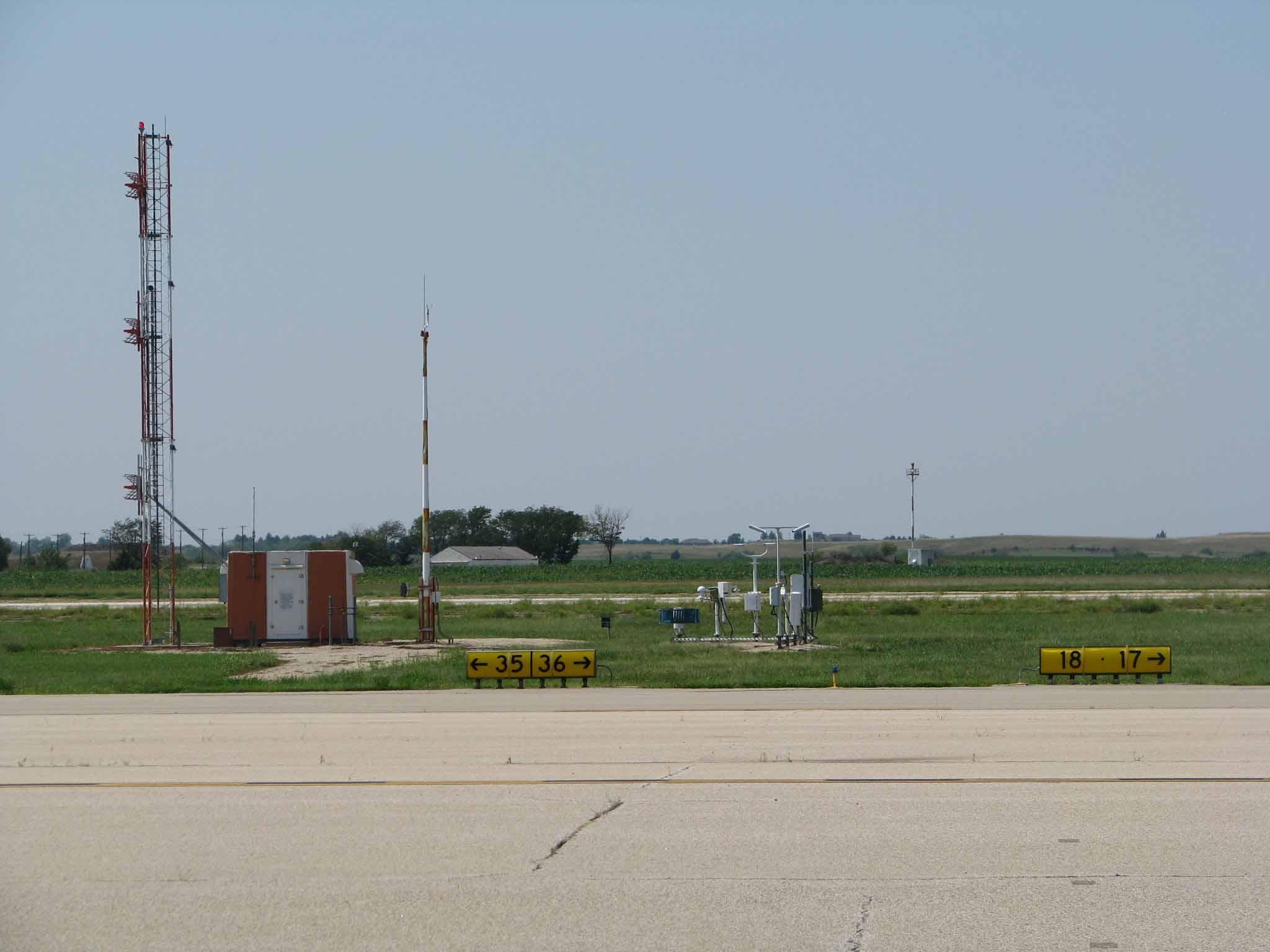
Basemaps serve as a great starting point for an Airport GIS. Typically, a basemap is the data found in an ALP/eALP. Shown as a web-based map, it brings basic information about the airport to your fingertips. Information such as runway length, apron pavement type, or hangar tenant. Our basemaps also allow you to print maps, use our drawing tools to mark-up areas, and provide measurements. eALP or CAD versions of your current ALP are a great place to start. Once the base data is published, additional layers can be added as needed or as new data becomes available.
Please contact us today to let us begin to build your basemap!